Shakadang Trail
The Shakadang Trail is 4.4 kilometers long, with a one-way walk taking approximately two hours. It is the most popular waterside route in summer. Shakadang refers to the collective name for the middle and lower reaches o…
Visitor Essentials
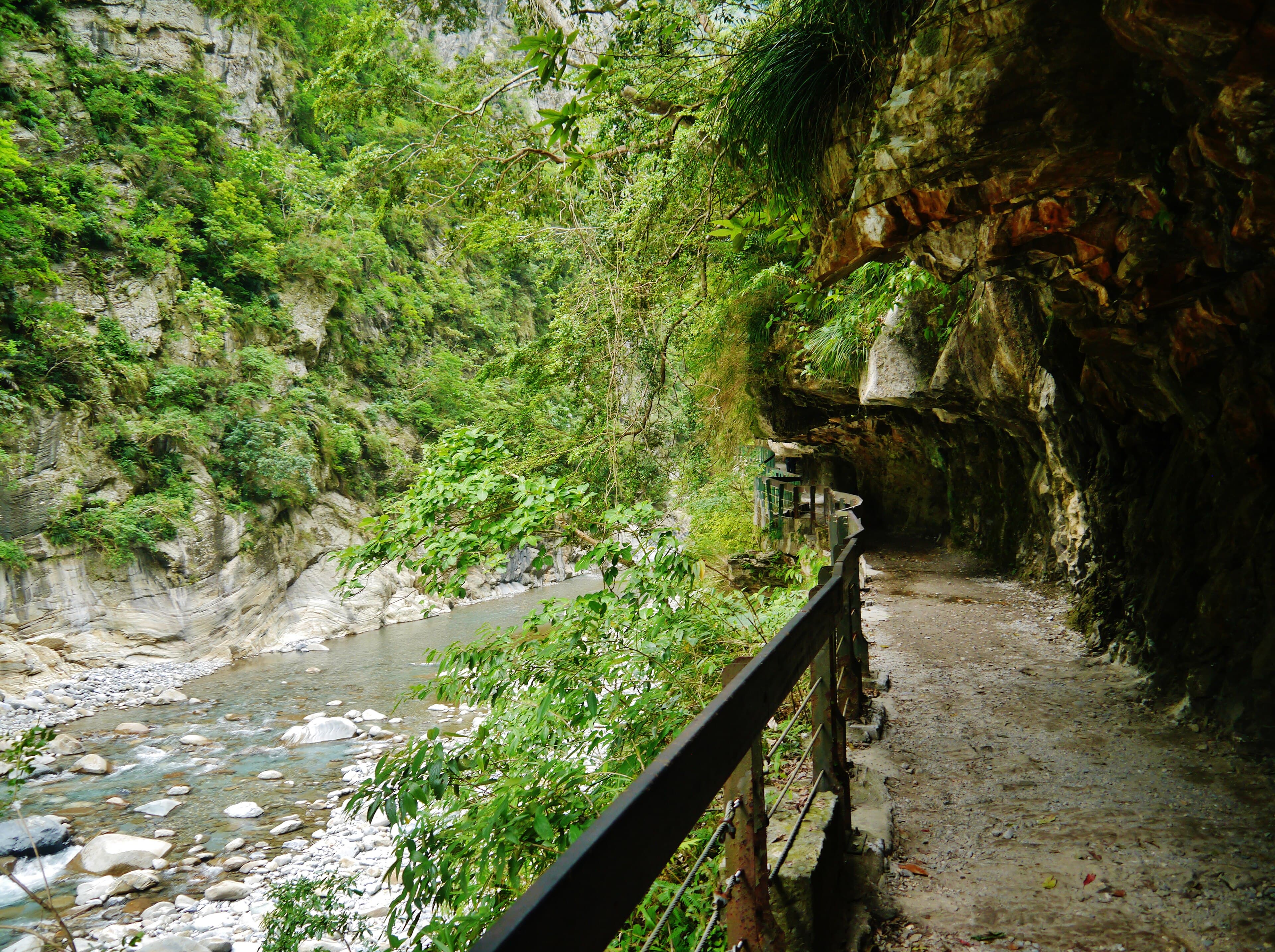
The Shakadang Trail is 4.4 kilometers long, with a one-way walk taking approximately two hours. It is the most popular waterside route in summer. Shakadang refers to the collective name for the middle and lower reaches of the Shakadang River valley, which is the first tributary of the Liwu River. The entire trail follows the left bank of the Shakadang River. Since most of it utilizes a construction road built by Taiwan Power Company in earlier years for constructing power plant water pipelines and check dams, it is flat and easy to walk. When walking the Shakadang Trail, in addition to admiring the beautiful marble gorges and clear, charming river pools along the way, the first half of the trail, mostly open tunnels carved beneath cliffs, is also very distinctive. Along the way, there are various points of interest such as the old site of the checkpoint, a check dam, and Sanjianwu (Three Houses). The old checkpoint site originally had five indigenous homes, also known as Wujianwu (Five Houses), but now, like Sanjianwu, it has become ruins. Originally, to reach the Shakadang Trail, one would walk down a path next to the toll station at the entrance of Taroko Gorge to the Liwu River, wade across the river, and then join the trail where the Shakadang River merges with the Liwu River. However, since the reconstruction project of the Central Cross-Island Highway built a tunnel and a new bridge at the mouth of the Shakadang River, visitors can now directly cross the Shakadang River from the valley entrance to access the trail.
Discover the Context
No stories linked yet.
Happening at Shakadang Trail
View CalendarNo upcoming events at this venue.