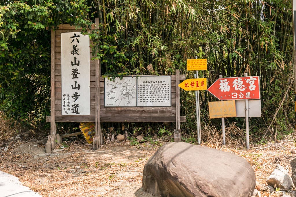
Liuyishan Hiking Trail
Liuyishan (Liuyi Mountain) has an elevation of approximately 784 meters. It belongs to the Wushan Mountain Range of the Alishan Mountain Range and serves as the boundary mountain between Jiaxian District in Kaohsiung and…
Visitor Essentials
Liuyishan (Liuyi Mountain) has an elevation of approximately 784 meters. It belongs to the Wushan Mountain Range of the Alishan Mountain Range and serves as the boundary mountain between Jiaxian District in Kaohsiung and Nanxian District in Tainan. It was already a popular hiking route during the Japanese colonial period. The trail was developed along the mountain ridge, mimicking the ancient paths of the Japanese colonial era. It uses natural ecological construction methods to create a wood-grain-textured stake pathway, with a total length of approximately 4.35 kilometers. There are four hiking entrances, from north to south: Side, Gongguan, Baiye, and Zixia. A one-way traverse takes approximately 3 hours. Along the way, there is a diverse variety of tree species, with different flowering plants appearing in different seasons. In winter, especially, the plum blossoms bloom, filling the air with fragrance and creating a beautiful, dreamlike scene. Looking west, east, and south, visitors can overlook Nanhua Reservoir, the Central Mountain Range, and the Wushan Mountain Range of Alishan. The expansive views are excellent for watching sunsets. Along the trail, there are also attractions such as the Lakeview Platform, Plum Blossom Viewing Platform, Liuyishan Triangulation Point Monument, Yakou Observation Deck, and Dam View Pavilion. It is designated as a national-level healthy trail by the Forest Bureau.
Discover the Context
No stories linked yet.
Happening at Liuyishan Hiking Trail
View CalendarNo upcoming events at this venue.