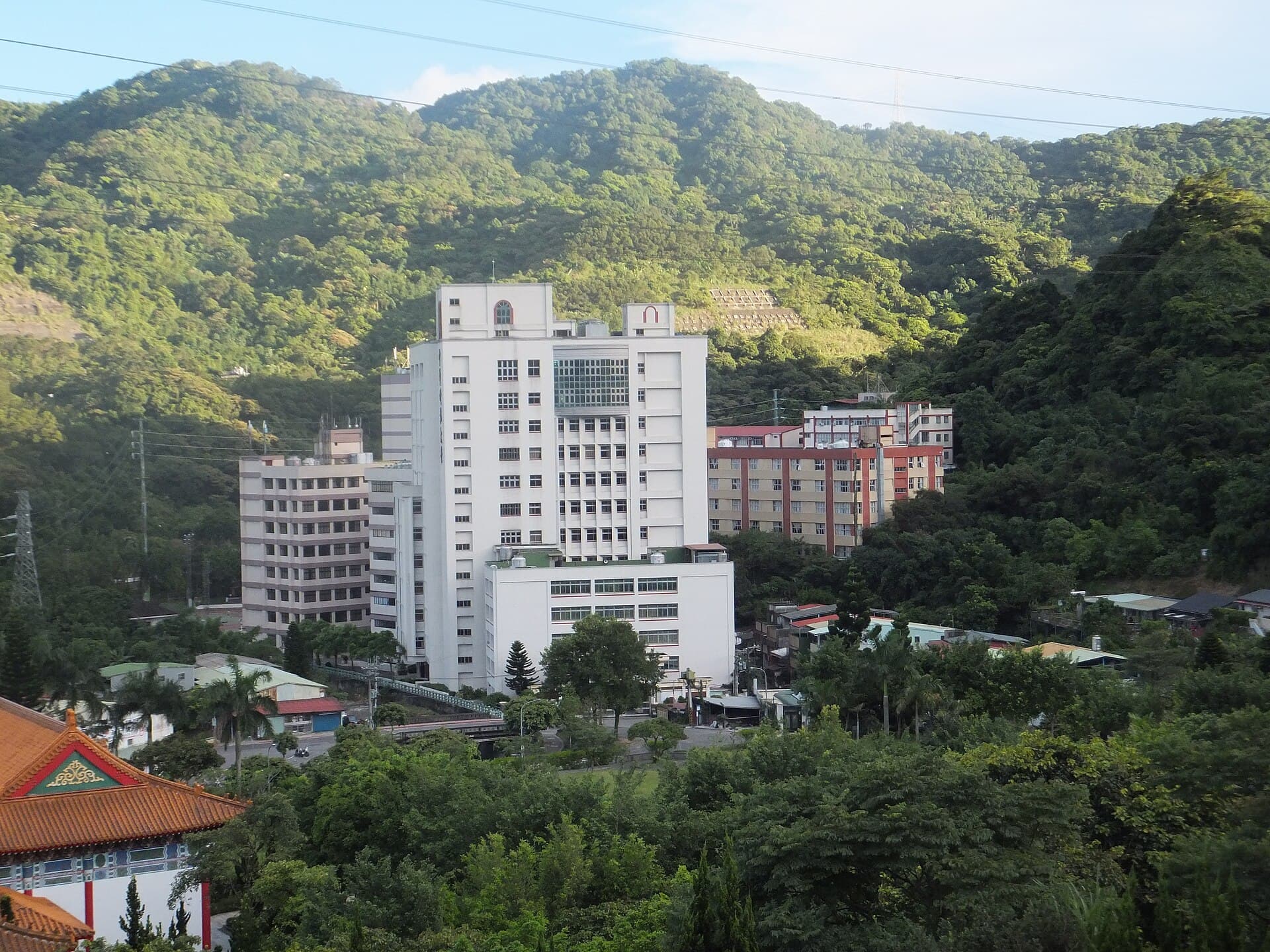
Nangang Mountain Range_Nangang Mountain Traverse Hiking Trail
Nangang Mountain is located on the eastern outskirts of the Taipei Basin. Connected to branches like the Four Beast Mountains, it has become a popular hiking route. Entering through the Lingyun Temple archway at the Xian…
Visitor Essentials
Nangang Mountain is located on the eastern outskirts of the Taipei Basin. Connected to branches like the Four Beast Mountains, it has become a popular hiking route. Entering through the Lingyun Temple archway at the Xiangshan (Elephant Mountain) Hiking Trail entrance, the stone steps along the way are well-maintained and smooth, with trail maps provided. The landscape primarily features acacia forests, and there are many pavilions and seating areas built by early morning exercise clubs for hikers to rest. It can be connected with the Xiangshan, Hushan (Tiger Mountain), and Lishan Bridge Hiking Trails. Nangang Mountain is located on the southeastern ridge between Xinyi District and Nangang District, and it is the highest peak of the Nangang Mountain Range, topped with a flashing light device for nighttime and a Level 3 survey point marker No. 695. Between Changshouyuan and Thumb Mountain, many trails and winding paths have been built along the Nangang Mountain ridge, which is approximately 196 meters high, making it very convenient for hikers. From the summit, looking north, the lower Xiangshan, Shishan (Lion Mountain), Baoshan (Leopard Mountain), and Hushan, collectively known as the Four Beast Mountains, are visible to the northwest. Looking east and south, one can see an unbroken series of lush, verdant, and layered mountains. The highest point of Nangang Mountain has a television broadcast antenna, towering above the clouds. This area has significant ups and downs, making the climb exciting and interesting. One of its peaks is named "Jiuwu Peak" (Ninety-Five Peak) to commemorate General Yang Sen climbing it at the age of ninety-five. Thumb Mountain is located southwest of Nangang Mountain and has no survey marker. When viewed from Taipei, Thumb Mountain's peak resembles a thumb reaching for the sky, hence its name. When viewed from the Nangang Mountain area, the mountain appears as a monoclinal ridge, with a gentler eastern slope and an approximately 90-degree western slope. Along the ridge connecting Nangang Mountain, Thumb Mountain, and descending to Xiangshan, one must climb over a section of steep and rugged rock face. This section is a rare and difficult path among northern suburban mountains. The summit of Thumb Mountain offers a 360-degree panoramic view. On clear, breezy days, the greater Taipei area, Guanyin Mountain, Datun Mountain, Xizhi, Wulai, and Sanxia can all be seen without obstruction. Thumb Mountain was designated as a protective forest during the Japanese colonial era. After a long period of conservation and cultivation, the forest is very complete and dense, with representative tree species such as the tree fern and water-banyan, and even wild giant taro appears particularly lush. The Eighteen Arhat Caves are eighteen majestic giant rocks located amidst the rugged mountains of China University of Technology. From a distance, they resemble eighteen Arhats in different sitting postures standing on the hilltop, and each giant rock happens to have a cave in the middle, which locals named the Eighteen Arhat Caves. Since this area is currently not open to the public, hikers can only admire them from afar. Enjoying the City and Mountain Views A benefit of walking on the ridge is that the route is not too complicated. Just follow the marble signs carved with "Four Beast Mountain Trail," and you won't get lost. Especially on weekends, many hikers are encountered along the trail, all heading towards Jiwu Peak. Climbing the highest peak of the Nangang Mountain Range, on good weather days, the view is boundless. The nearby Four Beast Mountains – Xiangshan, Shishan, Baoshan, and Hushan – are lined up. In the distance, the seamless blend of sky and sea at Guandu and the Keelung River, as well as the layered mountains of Wuzhi Mountain and Qixing Mountain Ranges, and the rolling mountains of New Taipei City, are all magnificently displayed. No wonder many people visit this trail to climb Jiwu Peak and enjoy the sunset and night views. Thumb Mountain Viewing Nangang Street Area The Nangang Mountain traverse route, along with the 360-degree super wide-angle view from Thumb Mountain, is also exceptional. The entire greater Taipei area, Guanyin Mountain, Datun, Qixing Mountain, and further afield Xizhi, Muzha, Wulai, and Sanxia mountain ranges are all visible. As night falls, one can overlook the scenery of greater Taipei and Taoyuan areas. Not only are there great views at the summit, but there are also many observation decks along the way, allowing you to enjoy the mountain scenery from different heights and angles. The wide stone steps are comfortable to walk on, and if you want to rest, there are pavilions for relaxation or viewing at regular intervals. Enjoying Forest Bathing and Panoramic Views For high-altitude views, good weather is essential. However, even if you encounter heavy fog, the abundant phytoncides and forest bathing will not disappoint, making you feel as if you've entered a fairyland in the misty forest. The mountainous area near Thumb Mountain was designated as a protective forest for Taipei City as early as the Japanese colonial period. After long-term conservation and nurturing, the natural forest is dense, and the forest stands are rich and complete. The forest canopy density in the western half of the trail is high, and the eastern half is no less impressive. On the trail from Rongshu Saddle towards China University of Technology, there is also a lush forest often covered in light mist, traversing which feels like wandering through a dreamland. Because this forest is located in the southeast corner, it is less affected by the northeast monsoon, so the forest is denser and more humid than those on Xiangshan and Hushan. Representative plants like the water-banyan are laden with fruit, tree ferns are tall and straight, and even the giant taro is particularly lush. Cleansing the Mind and Enjoying Secluded Paths The Xiangshan and Hushan mountains in the northwest belong to the same mountain range, but their natural landscapes are not necessarily as rich. As one proceeds to the later sections of the trail, the mountain forest scenery becomes richer and more tranquil than that of the Hushan Trail. Moving further, the sound of bubbling clear streams accompanies you, and when you reach the end of the water, an ancient stone bridge appears, adding to the quiet and serene atmosphere. After passing a small bridge and stream, could it be that "houses" are next? Indeed, a farmhouse appears by the road, followed by rows of coconut trees. Just when you think the good scenery along the way is about to end, looking to the right, you see not far away, a series of bare rock peaks standing majestically, their imposing grandeur very striking. It turns out that those are the famous "Eighteen Arhat Caves," a unique wonder you absolutely won't want to miss while walking on the gentle trail.
Discover the Context
No stories linked yet.
Happening at Nangang Mountain Range_Nangang Mountain Traverse Hiking Trail
View CalendarNo upcoming events at this venue.