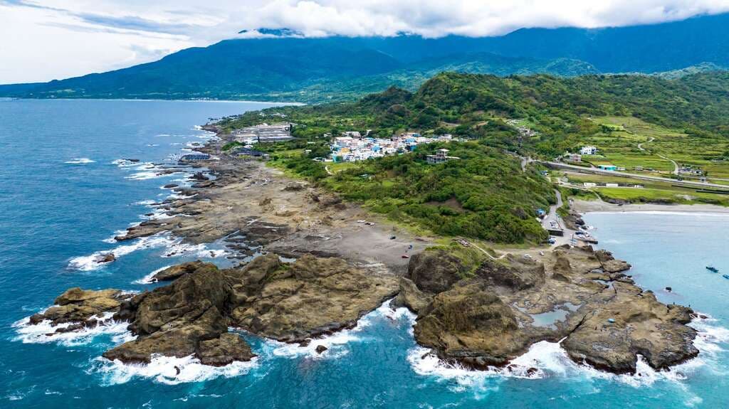
Wushihbi
Wushihbi is located at the southern tip of Changbin Township, near the Changbin entrance of Yuchang Highway. Wushihbi was formed when igneous magma flowed to the surface and solidified. During the cooling process, its vo…
Visitor Essentials
Wushihbi is located at the southern tip of Changbin Township, near the Changbin entrance of Yuchang Highway. Wushihbi was formed when igneous magma flowed to the surface and solidified. During the cooling process, its volume contracted, often resulting in columnar structures with analcime filling the fissures, a common sight in the southern section of the Coastal Mountain Range. Named Wushihbi (meaning 'Black Rock Nose' or 'Black Rock Cape') due to the black color of its rock formations, it is an erosional coast, so landforms such as sea stacks, sea caves, and sea trenches are very common. It is home to many marine creatures like fish, shrimp, crabs, and shellfish, making it a natural classroom for understanding intertidal zone ecology. Additionally, the seascape along this section of Provincial Highway 11 is particularly spectacular, with mountains, blue sky, and the vast ocean complementing each other. It's a great place for a scenic drive and relaxing while gazing at the sea.
Discover the Context
No stories linked yet.
Happening at Wushihbi
View CalendarNo upcoming events at this venue.