Guangtian Gaoshan Trail
Guangtian Gaoshan (Mount Guangtian Gao) is located southwest of the Xiangtian Lake tribe in Nanzhuang Township, Miaoli County, with an elevation of 1123 meters. In the past, it was a hunting and logging ground for the Sa…
Visitor Essentials
每日開放
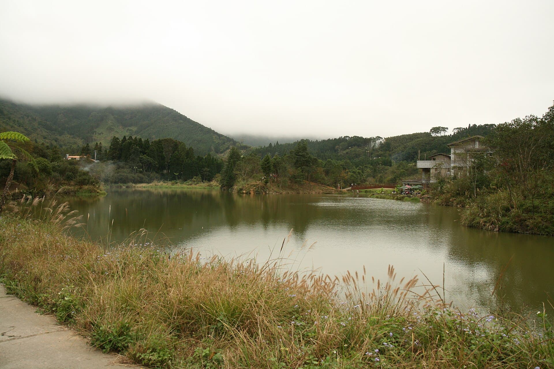
Guangtian Gaoshan (Mount Guangtian Gao) is located southwest of the Xiangtian Lake tribe in Nanzhuang Township, Miaoli County, with an elevation of 1123 meters. In the past, it was a hunting and logging ground for the Saisiyat indigenous people. It is currently designated as Reserve No. 32 of the Nanzhuang Business District by the Forestry Bureau. The Guangtian Gaoshan hiking trail features a well-preserved forest, providing ample shade. The ridge offers excellent views, allowing visitors to overlook nearby villages, admire continuous mountain peaks, and enjoy the beautiful scenery. It's also convenient to visit Xiangtian Lake and the Miaoli County Saisiyat Indigenous Cultural Museum, where you can enjoy the stunning lake and mountain views, reflections of misty mountains, leisurely tea by the lake, stroll along the lakeside trail, and learn about Saisiyat culture. The trail is very popular among hikers. Starting from the trailhead, purple floss flowers bloom vibrantly on both sides, creating a stunning purple floral sea. The trail gently ascends, winding through bamboo groves and cedar forests. Upon reaching a fork, the left path leads to Xiangtian Lake Mountain, while the right path goes towards Guangtian Gaoshan. These two paths form a loop, allowing hikers to visit both Guangtian Gaoshan and Xiangtian Lake Mountain by following the signs and hiking ribbons. Taking the right path towards Guangtian Gaoshan, you'll find a high platform to the left of the ridge, which serves as an excellent vantage point to overlook the Xiangtian Lake tribe, E'gongji Mountain, Lu'ailiao, and Xiangtian Lake. The trail is lined with dense forests, where towering cedars seem to touch the sky, and dappled sunlight filters through, inviting visitors to pause and admire the scenery. Continuing past a giant boulder and ascending a slope, you'll find various ferns and wildflowers thriving beneath the trees. Soon, you'll reach a small, relatively flat plateau, an ideal spot for a brief rest, with the Pingshanjie boundary marker located to your left. Proceeding further, you'll arrive at the outer edge of the saddle, where lush woodlands and a narrow path await. Follow the natural steps formed by exposed tree roots, then ascend to the ridge and head west until you reach the summit. To the northeast of the summit, a Class 4 triangulation station can be found, marked by towering oak trees. While the dense surrounding forest obstructs some views, the northeastern cliff offers a glimpse of E'gongji Mountain, and to the west, you can still see the Taiwan Strait. At the summit, hikers can enjoy the gentle breeze, stretch their limbs, and breathe in the crisp, fresh mountain air. 1. Start/End: Xiangtian Lake Tribe, Donghe Village ~ Guangtian Gaoshan Triangulation Station (Nanjiang Village) 2. Trailhead: Above and to the left of House No. 18, Xiangtian Lake Tribe 3. Trail Length: 3 kilometers, Walking Time: Approximately 1 hour 50 minutes (one-way) 4. Trail Path: Guangtian Gaoshan Trailhead → Platform beside the ridge → Giant boulder → 'Pingshanjie Landmark Plateau' → Guangtian Gaoshan
Discover the Context
No stories linked yet.
Happening at Guangtian Gaoshan Trail
View CalendarNo upcoming events at this venue.